
 Capability
Capability
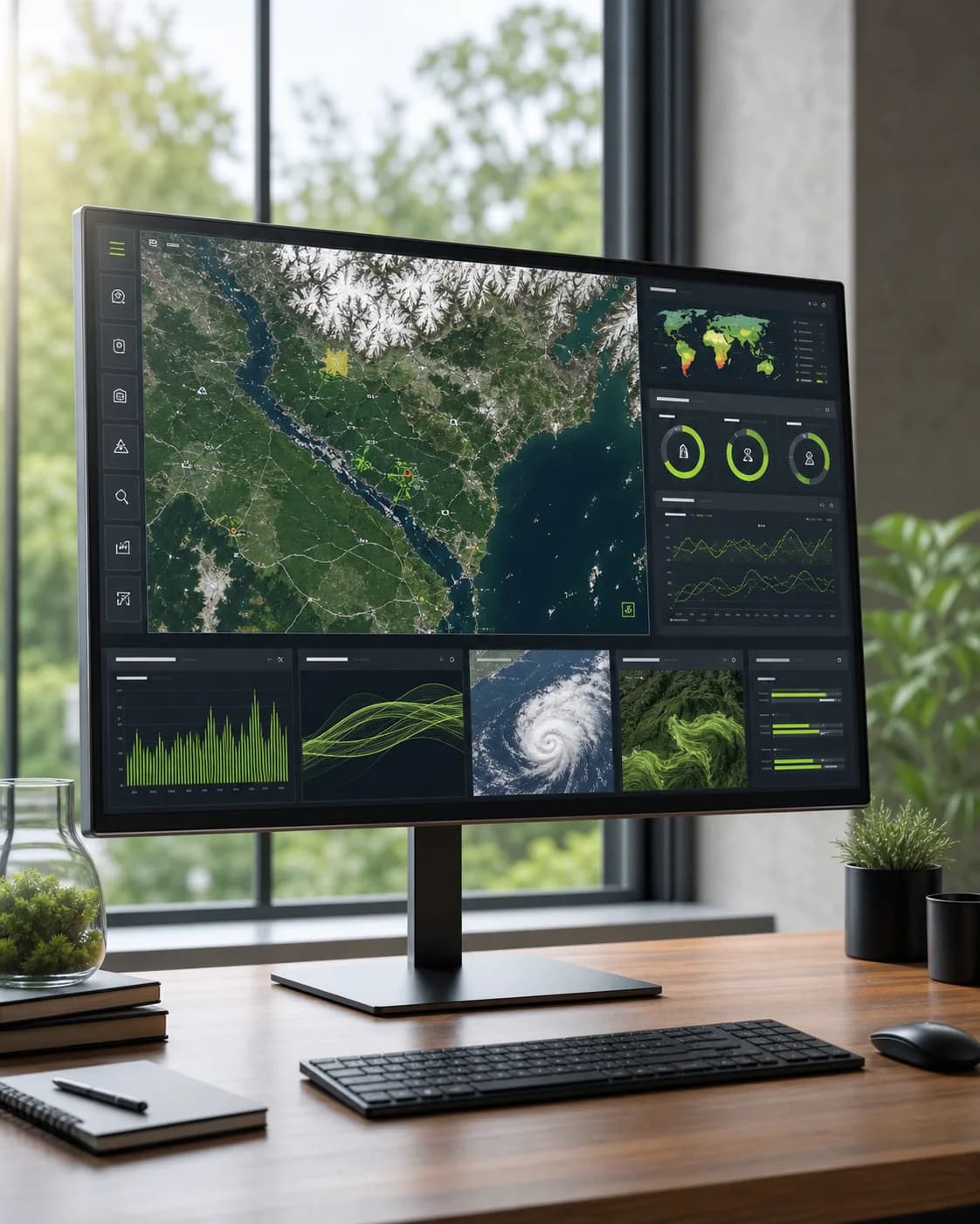
Earth Observation Analysis
Access powerful analytical tools designed to extract meaningful insights from satellite imagery and remote sensing datasets.
Features
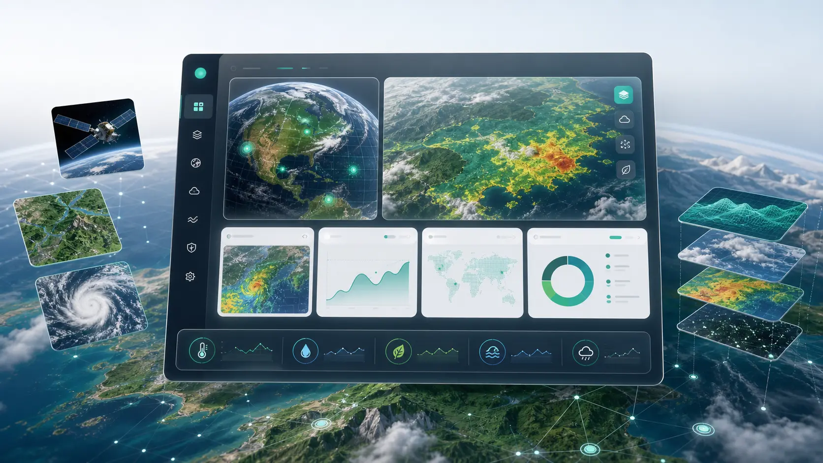
Satellite Image Processing
Multi-Source Data Analysis
Remote Sensing Intelligence
Large-Scale Geographic Monitoring
Automated Feature Detection