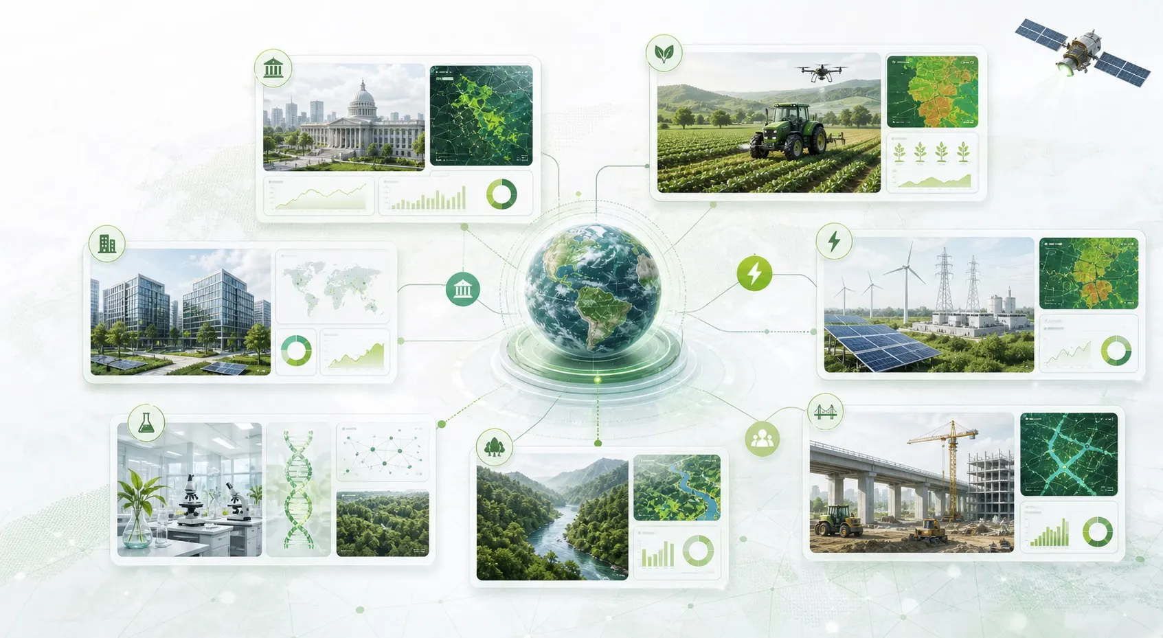
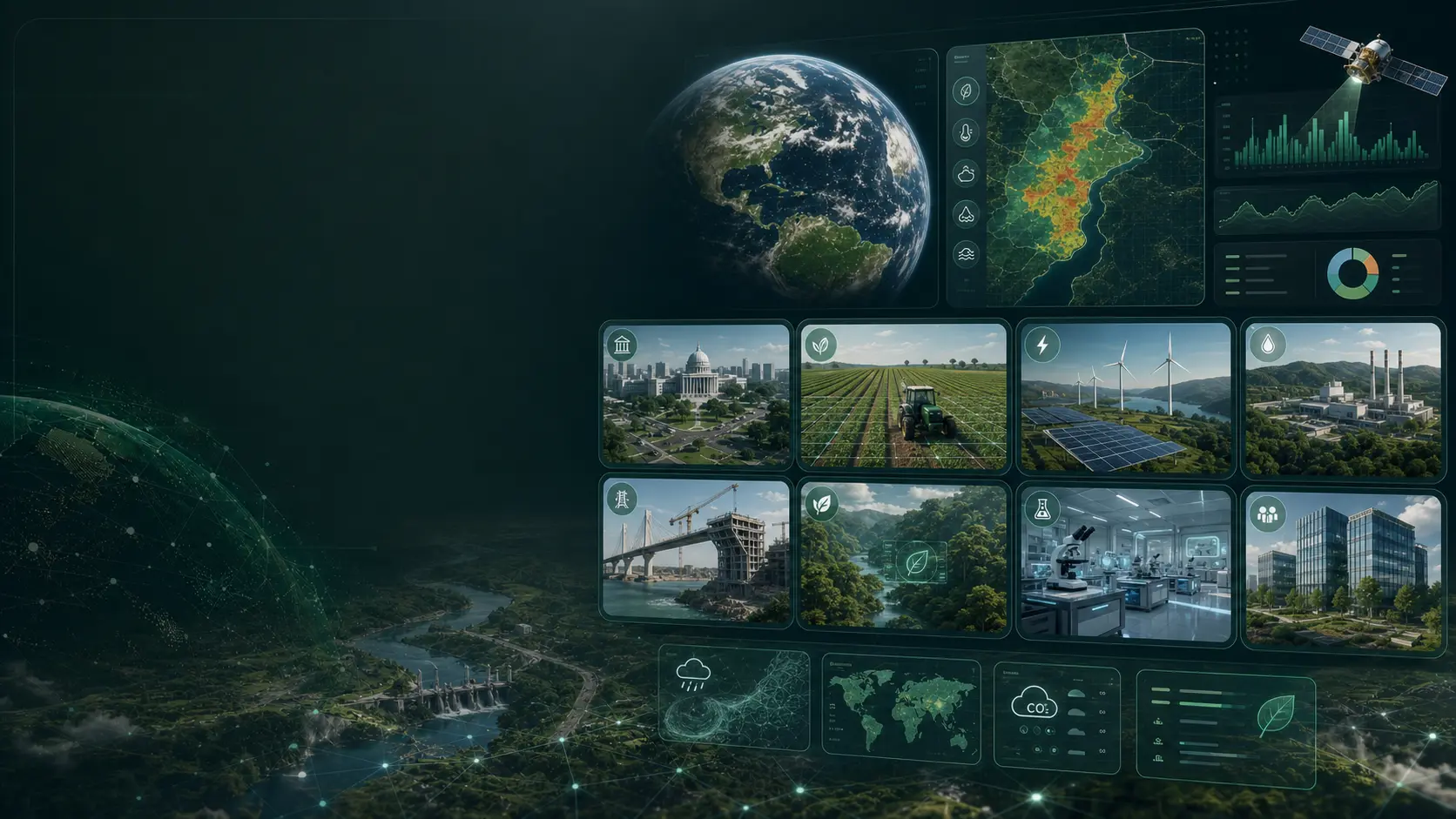
Anuvith
Platform

Climate Intelligence, Geospatial AI & Satellite Analytics in One Unified Platform

Anuvith brings together climate intelligence, geospatial analytics, satellite data processing, and environmental monitoring into a single platform designed to help organizations understand environmental change, assess risks, and support data-driven decision-making.

Climate IntelligenceGeospatial AISatellite AnalyticsEnvironmental Monitoring
Anuvith climate intelligence dashboard displayed on a realistic workstation monitor
Real-time dashboard
Modules4 Core Engines
Built for Environmental Intelligence

Turn complex datasets into actionable insights

Environmental intelligence visualization
Always learning

Intelligent automation, end to end.

Anuvith simplifies the collection, analysis, and visualization of complex environmental and geospatial datasets through advanced analytics.

Why it matters

Modern organizations rely on accurate environmental information to manage risks, optimize resources, and plan for the future. Our platform empowers teams to monitor conditions, analyze patterns, and detect change — automatically.

4+

Data layers

24/7

Monitoring

Built-in capabilities
Climate trend analysis
Spatial intelligence
Satellite imagery
Sustainability monitoring
Core Platform Modules

Four intelligence engines. One platform.

Purpose-built modules that work seamlessly together to power your environmental and geospatial intelligence workflows.

Climate Intelligence

Module

01 · 6 Features

Module 01

Climate Intelligence

Gain deeper visibility into climate trends and environmental risks through predictive analytics and historical data analysis.

Capabilities

Climate Trend Analysis
Weather Pattern Insights
Heatwave Monitoring
Drought Assessment
Flood Risk Forecasting
Climate Vulnerability Mapping
Engineered for climate intelligence
Geospatial AI

Module

02 · 6 Features

Module 02

Geospatial AI

Transform location-based data into valuable intelligence using advanced spatial analytics and machine learning technologies.

Capabilities

Spatial Data Analysis
Land Use Classification
Terrain Intelligence
Infrastructure Mapping
Change Detection
Geographic Risk Assessment
Engineered for geospatial ai
Satellite Analytics

Module

03 · 6 Features

Module 03

Satellite Analytics

Extract actionable insights from Earth observation imagery through automated image processing and intelligent analytics.

Capabilities

Satellite Image Processing
Vegetation Monitoring
Forest Cover Analysis
Water Resource Monitoring
Urban Expansion Tracking
Environmental Change Detection
Engineered for satellite analytics
Environmental Monitoring

Module

04 · 6 Features

Module 04

Environmental Monitoring

Continuously monitor environmental indicators and ecosystem conditions through integrated intelligence tools.

Capabilities

Air Quality Monitoring
Water Quality Assessment
Soil Health Analysis
Pollution Detection
Ecosystem Monitoring
Environmental Reporting
Engineered for environmental monitoring
Intelligent Analytics Engine

Built on advanced analytics

The platform processes large volumes of environmental and spatial data using advanced analytical models and automated workflows.

AI-Powered Data Analysis

Predictive Environmental Modeling

Automated Pattern Detection

Risk Assessment Tools

Geospatial Visualization

Data Integration Frameworks

Interactive dashboards
Live insights
Interactive Dashboards & Reporting

Insights at a glance

Access environmental intelligence through intuitive dashboards designed for monitoring, analysis, and decision support.

  • Real-Time Data Visualization
  • Environmental Performance Metrics
  • Climate Risk Indicators
  • Geospatial Mapping Tools
  • Custom Reports
  • Data Export Options
Scalable Cloud Infrastructure

Reliable. Secure. Built to scale.

Built to support organizations of all sizes, the platform delivers reliable performance, secure data management, and scalable processing capabilities.

Environmental intelligence platform use cases across public sector, agriculture, energy, research, and infrastructure

Secure Cloud-Based Access

High-Performance Processing

Multi-User Collaboration

Flexible Deployment Options

Role-Based Access Controls

Enterprise-Grade Security

Platform Workflow

From data to decisions

A clear, repeatable workflow that transforms raw environmental data into measurable outcomes.

Step01

Collect

Gather environmental, climate, geospatial, and satellite-derived datasets from trusted sources.

Step02

Analyze

Apply artificial intelligence and advanced analytics to uncover trends, risks, and opportunities.

Step03

Visualize

Explore insights through interactive dashboards, maps, and analytical reports.

Step04

Act

Use data-driven intelligence to support planning, sustainability initiatives, and environmental decision-making.

Outcome

Confident, data-backed environmental decisions.

Start the workflow
Why Choose the Anuvith Platform

Designed for trust and scale

Built to deliver intelligence you can rely on — engineered for today's teams and tomorrow's scale.

Unified Intelligence

Unified Climate & Environmental Intelligence

One platform bringing climate analytics, geospatial AI, satellite analytics, and environmental monitoring together — no more juggling fragmented tools.

4

Engines

100%

Cloud-Native

24/7

Insights

Advanced Geospatial Analytics

Spatial intelligence built on advanced GIS, mapping, and location-aware models.

Satellite-Based Monitoring

Earth observation imagery processed automatically into insights.

AI-Powered Insights & Forecasting

Predictive analytics, anomaly detection, and intelligent automation built-in.

Scalable Cloud Architecture

From small teams to enterprise — performance that scales with you.

Real-Time Data Visualization

Live dashboards, environmental performance metrics, climate risk indicators, and interactive maps that update as your data does.

Enterprise-Ready Security & Reliability

Role-based access controls, secure cloud delivery, and the reliability standards enterprises demand — by default.

EncryptedRole-BasedReliableAudited
Ready to Explore the Platform· Live demo

Transform environmental
data into intelligence.

Discover how Anuvith turns climate analytics, geospatial AI, and satellite monitoring into measurable impact — in a single unified platform built for trust and scale.

AI-Powered AnalyticsSatellite ImageryReal-Time InsightsEnterprise Security
Green tech innovations for a sustainable tomorrow
FreeDemo
Live · Greener future
PlatformUnified Intelligence
4Core Modules
100%Cloud-Native
24/7Insights Ready